|
|
|
|
|
|
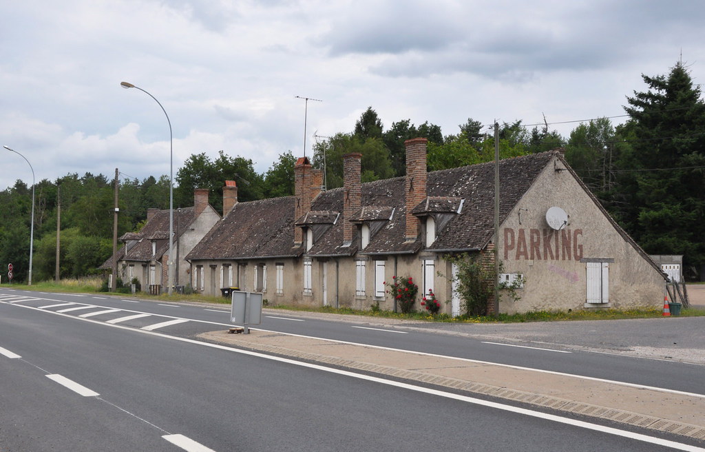
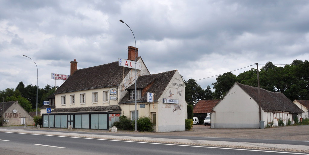
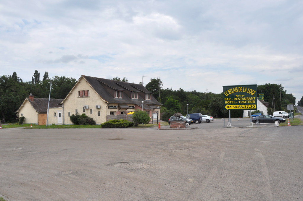
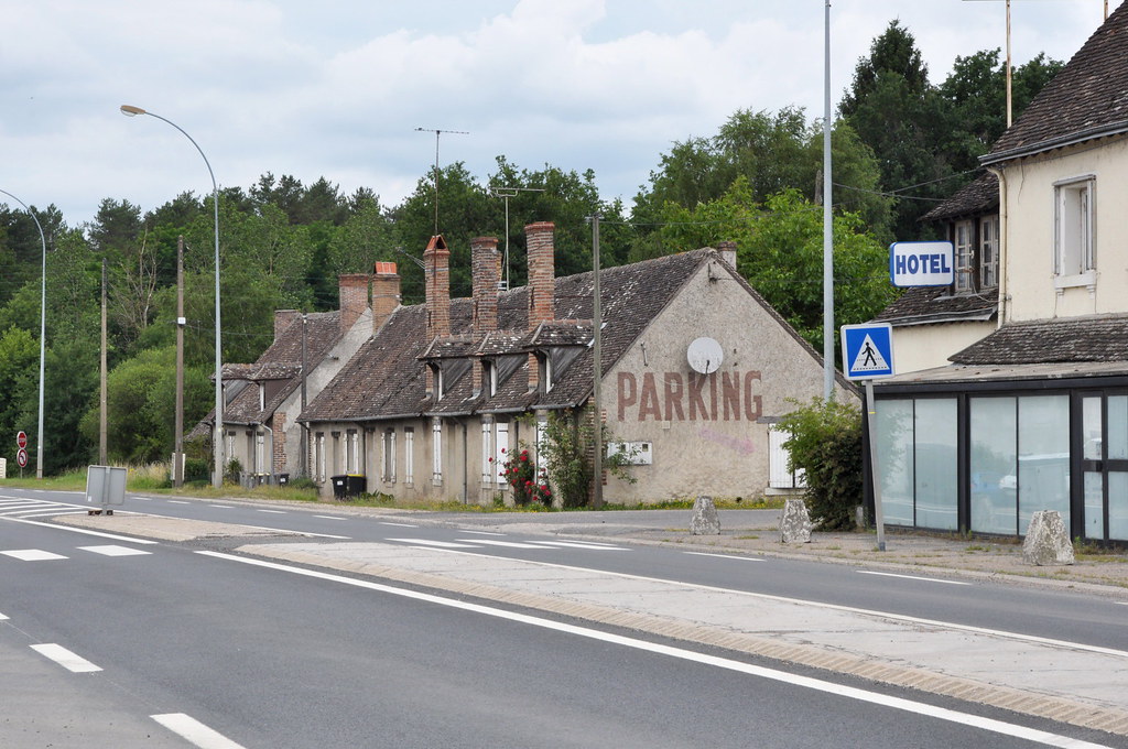
La Ferté-Imbault pictures
|
|
|
|
La Ferté-Imbault from the sky
|
|
Old photos of the town of La Ferté-Imbault
|
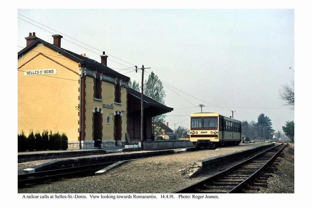
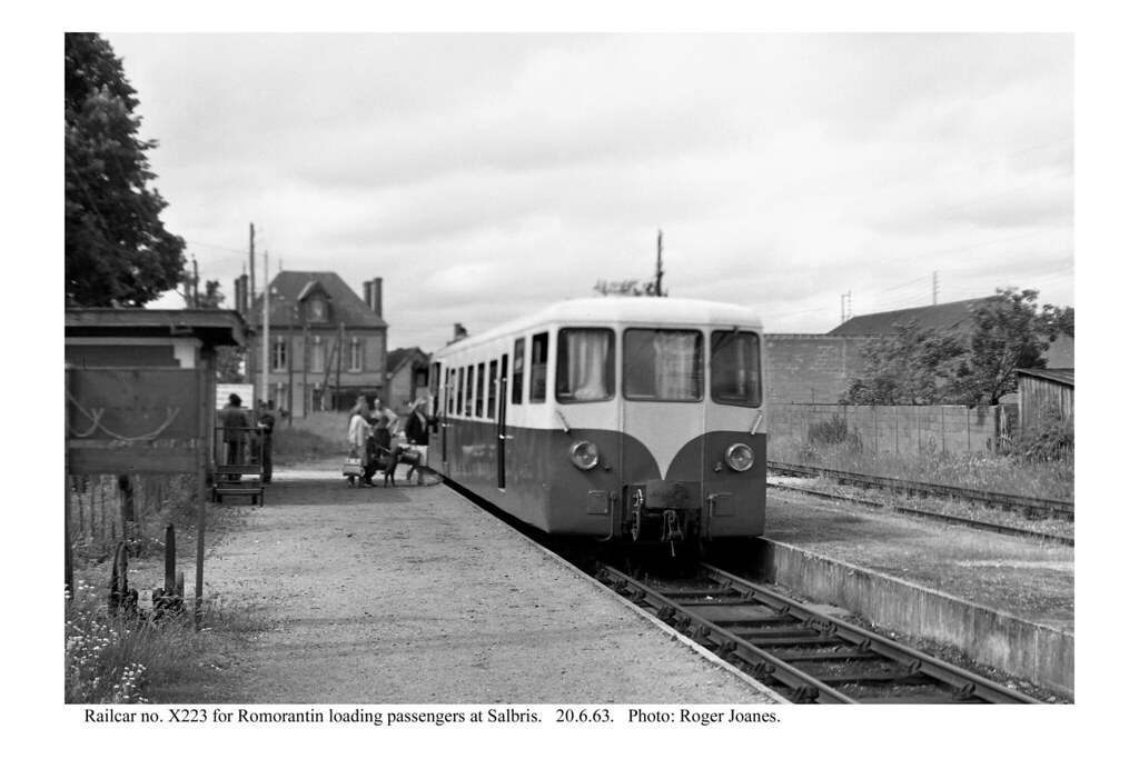
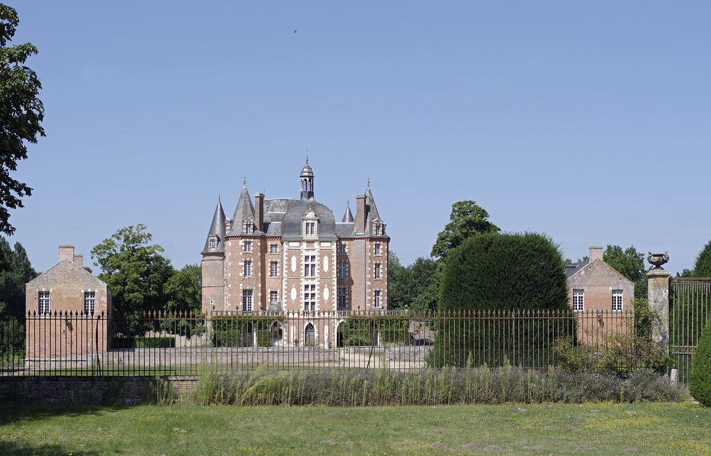
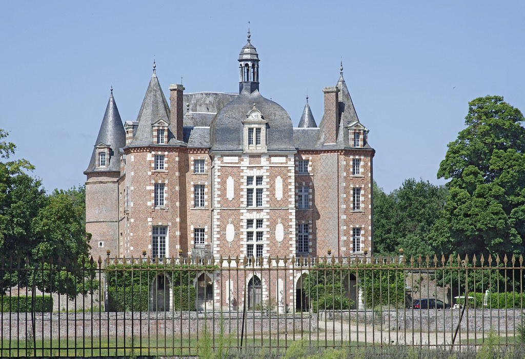
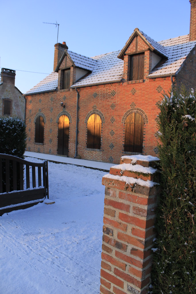
These photos taken near the town of La Ferté-Imbault can be shown in full screen clicking on the thumbnails. Photos are copyrighted by their owners.
|
|
Other maps, hotels and towns in france
Find another town, zip code, department, region, ...
Quick links La Ferté-Imbault :
Back to the menus Map of France :
Make a link to this page of La Ferté-Imbault with the following code :
|
|
Map of France | Regions | Departments | Cities | Partners | Terms | Contact
|